Aztec Capital Tenochtitlan Aerial View History
Copy the prompt below to render similar images
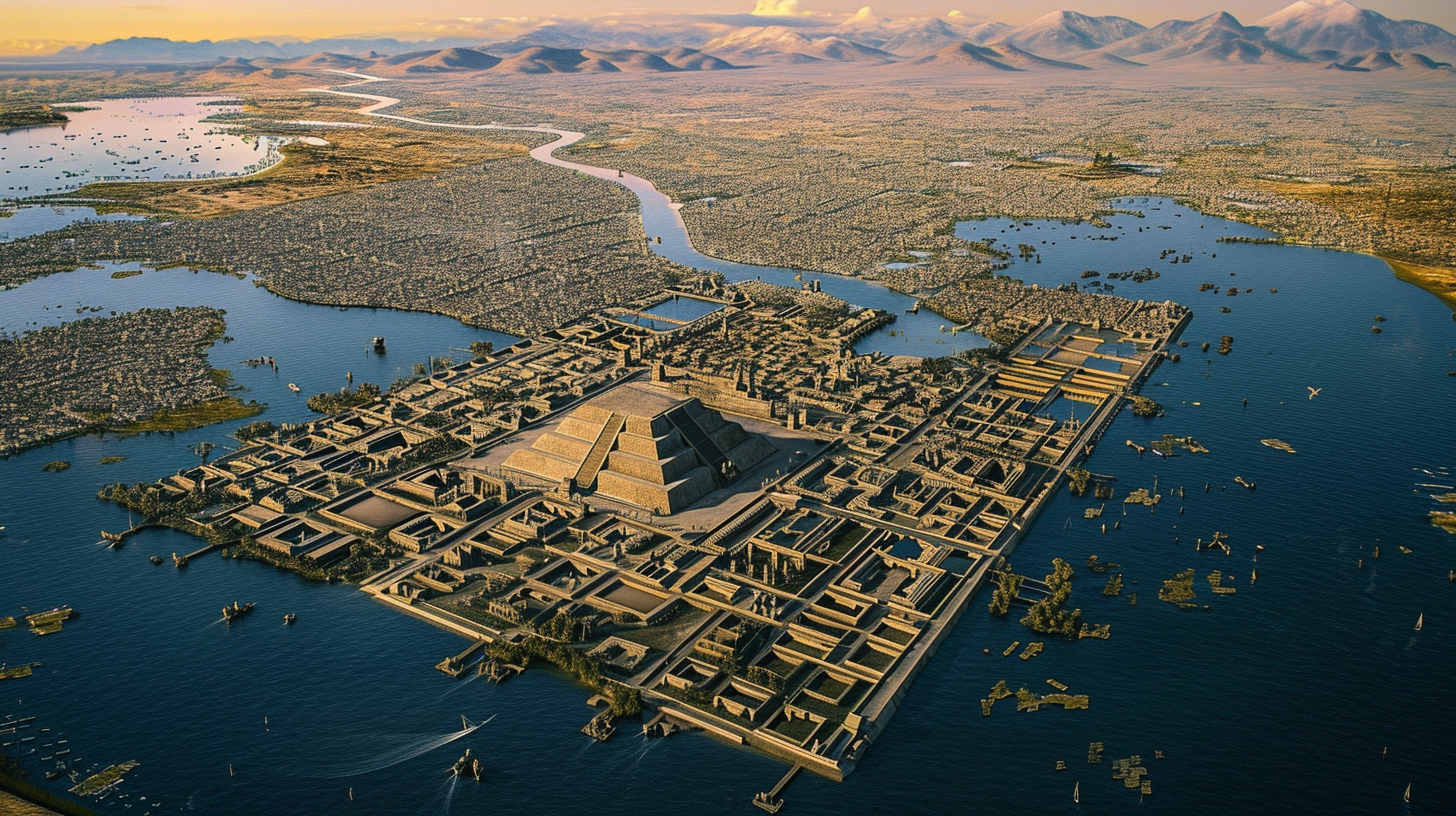
This image depicts an aerial view of Tenochtitlan, the Aztec capital, during the early 16th century. It shows the city situated on an island in the midst of Lake Texcoco, connected to the mainland by a network of canals and causeways. In the city's center, the majestic Templo Mayor, a large pyramid, is prominently featured, surrounded by other temples, palaces, and a busy market area. The streets and canals within the city are bustling with activity. Beyond the urban landscape, extensive chinampas, or floating gardens, are visible. These are fertile patches arrayed in neat rows on the lake's surface, used for growing a variety of crops. The image beautifully captures the blend of sophisticated urban and agricultural landscapes of the Aztec civilization, highlighting their advanced urban planning and farming techniques. --ar 16:9 --v 6.0
Attribution is required to use images for personal and
commercial use
Similar Prompts
View Limit Reached!
Upgrade for premium prompts, full browsing, unlimited bookmarks, and more.
 Premium

Become a member
Sign up to copy & bookmark prompts.
It's absolutely FREE
 Sign in or Sign up using Google

Limit Reached
Upgrade for premium prompts, full browsing, unlimited bookmarks, and more. Create up to 2000 AI images and download up to 3000 monthly
 Premium


 Midjourney
 Pinterest
  Facebook
 Twitter


 Premium